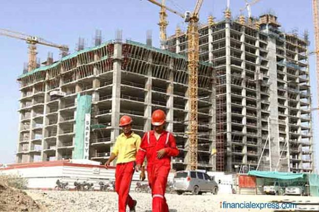
By liberalising the data policy in the country, the Indian government is exhibiting a lot of trust and confidence in the Indian corporates as this data can be extremely sensitive and critical to the national safety. The removal of bottlenecks in data availability and finance will expedite infrastructure development in the country.
India’s recently launched new Geospatial policy has blown a breeze of fresh hope in the otherwise slowing down infrastructure sector. The segment has been severely affected by the Covid-19 pandemic and the resultant lockdown. Even before the advent of the pandemic, the sector had been suffering from various issues. Non-availability, delayed availability and the high cost of geospatial data are few issues faced. The new policy aims to solve these issues and focuses to make it easier for the Indian companies to procure and produce the geospatial data.
The role of geospatial data is constantly rising in every aspect of life and business. The new policy will liberalise the geospatial data regime in the country. Once this policy becomes law, private companies will be able to participate in the generation and utilisation of the geospatial data. By liberalising the data policy in the country, the Indian government is exhibiting a lot of trust and confidence in the Indian corporates as this data can be extremely sensitive and critical to the national safety. The organisations involved in generation, procurement, handling or usage of the geospatial data only need to self-certify the government that the data will be used responsibly for developmental purposes only. Let’s examine the impact of the new policy on the country’s infrastructure sector.
Faster Decision Making
Development of new infrastructure requires careful planning in order to make it financially, economically and ecologically viable. This requires precise information which can be only be collected by geospatial technology. To acquire data, the dependence was on govt. data which requires lengthy permission procedures and formal requests. Also, the infra-development companies had to rely on a very limited number of players in the market, making the data expensive, outdated or delayed.
Now with the new policy in place, infrastructure companies will not have to wait for permissions for the data. There will be multiple players in the market, which in turn will result in better price negotiations, leading to faster decision making for infrastructure development.
Economic Data
As stated above, due to very limited number of players in the market, until now the supply side of the data was seriously constraint. High demand from infrastructure and other sectors led to the higher prices. Infrastructure companies had to pay hefty sums to purchase the data-sets and the licenses to use them. Now with the relaxation of the norms, new players will emerge in the market and the prices of the data will fall. Moreover, with increased competition, the data providers will also have to focus on the accuracy and the quality of the data to attract and retain business.
Comprehensive Planning
Large infrastructure projects like smart cities need meticulous planning keeping every aspect of the city in mind, right from design to smart transport, storm water management, industrial planning and disaster management etc. Geospatial data is needed to plan the city properly and calculate their probable impact on each other. Until now, due to the limited supply of data, the smart city planners could not get all the data together. They received the data in phases and had to work with isolated data-sets. This resulted in inefficient planning and sometimes even the most well planned and well executed projects failed to fit in the wholesome machinery of the smart city. With new and specialised players entering the market, this problem might become a thing of the past.
Easy Finance Mobilization
Infrastructure projects require huge long-term finance. Also due to various underlying factors, the success of these projects is often uncertain. This makes mobilizing finance for these projects a difficult task. However, when geospatial data will be readily available, all the infrastructure projects will be planned in accordance with the analyses done with respective data sets. Projects backed with geospatial data will easily find financers and buyers. This will particularly benefit residential and commercial real estate projects.
The above mentioned are some of the many ways the new geospatial policy will benefit the infrastructure sector. The removal of bottlenecks in data availability and finance, will expedite infrastructure development in the country. This move by the government of India has come at the right time when the slowing down infrastructure sector needed a strong impetus to bounce back. A robust and healthy infrastructure sector is a prerequisite for a healthy economy especially at a time when it is looking for a recovery after the Covid-19 disruption.
https://cio.economictimes.indiatimes.com/news/government-policy/new-geospatial-policy-to-expedite-infrastructure-development/83164289


